Teaching with Maps
Maps and social studies go hand in hand, so we’ve put together a lesson plan and our best (and printable!) mapping resources here. Try the lesson plan and share the maps with students. These resources will elevate your world history lessons—no origami required.
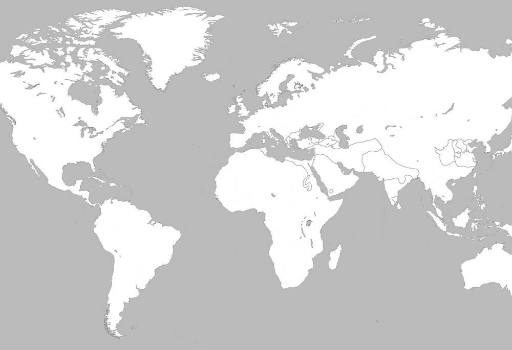
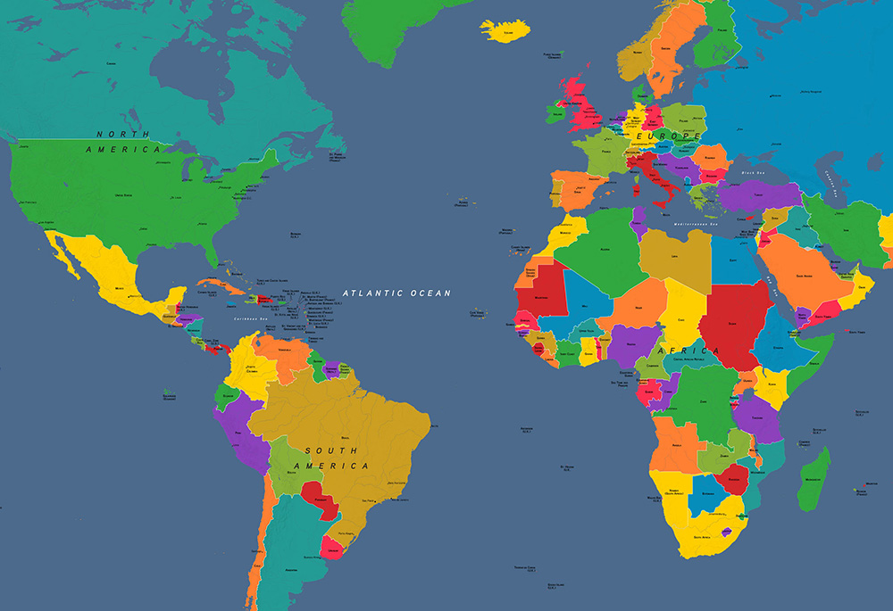
OER PROJECT MAPS
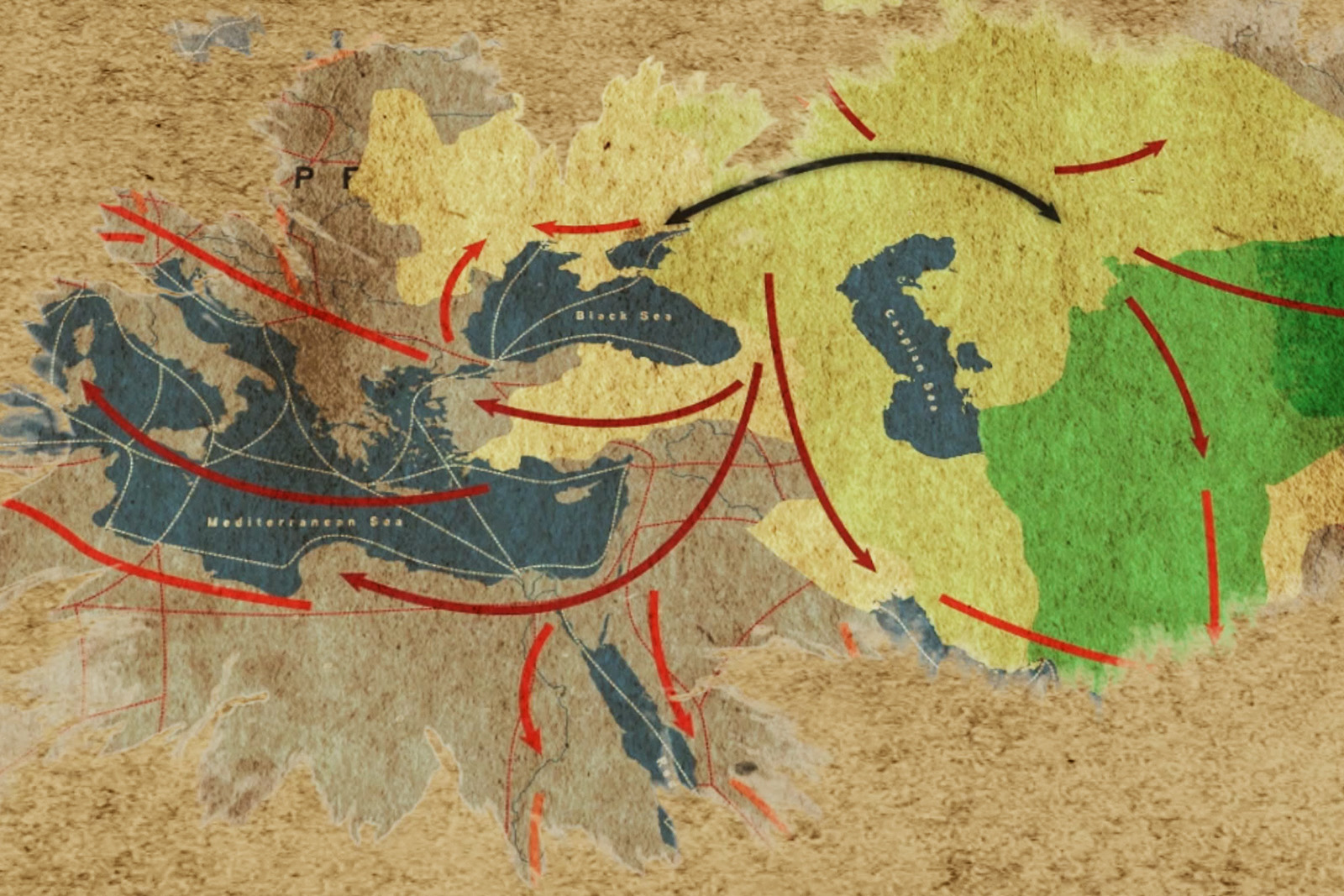
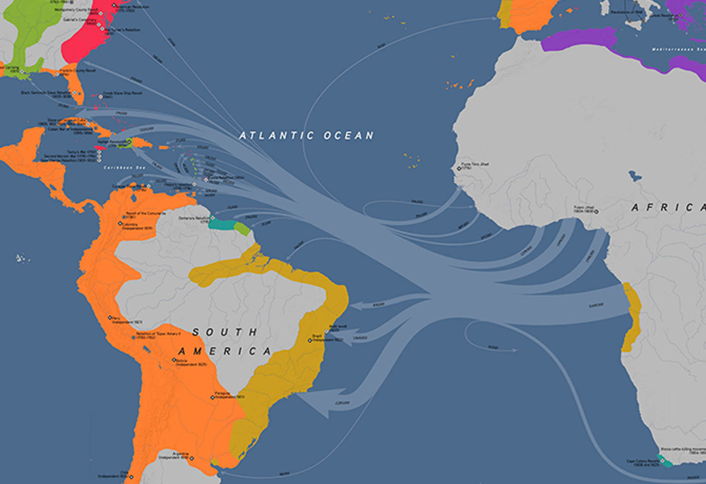
Maps are more than just places on a page, and these political and thematic maps will help develop historical thinking skills like contextualization, CCOT, and causation. Use them to give students an understanding of the time and place of historic events.
OUR RESOURCES FOR TEACHING WITH MAPS
Feeling lost at sea? Navigate to the resources below and sail into a map-infested curriculum.


EXPLORE OTHER OER PROJECT LESSON TOPICS

The Skill of Sourcing
View Topic
Graphic Histories
View Topic
Writing
View Topic