Long-Distance Trade Routes
Long-distance trade routes connect people, cultures, and ideas across the globe and transform human history. These classroom-ready lesson plans and teaching materials covering the ancient Silk Roads and Indian Ocean trade routes help cultivate a deeper understanding of how global connections began, why they grew, and how they shaped our world today.
 How to Teach Long Distance Trade Routes

Historical Thinking Skill: Causation
Guide students to use their causation skills to determine why long-distance trade routes formed and grew.

Maps Index
Discover our full collection of World History Maps. Check out our world political and thematic maps for visualizations of trade routes in the Roman Empire, medieval trade routes, and the global silver trade.

Blog: A Single Ocean Trade Network
Flip the map for your class: oceans are bridges, not borders. Journey with a historian across the seas that connect communities.
Blog: Swahili city-states: A special example of trade shaping politics!
How did long-distance trade shape the merchant societies of these East African city-states?
Lessons plans on Long-Distance Trade Routes
Lesson 5.5.3
Connecting Across Distances
It’s a big world, but people have been connecting across long distances for a long time. Use this trade game and articles to explore ancient history’s biggest networks.
View Lesson
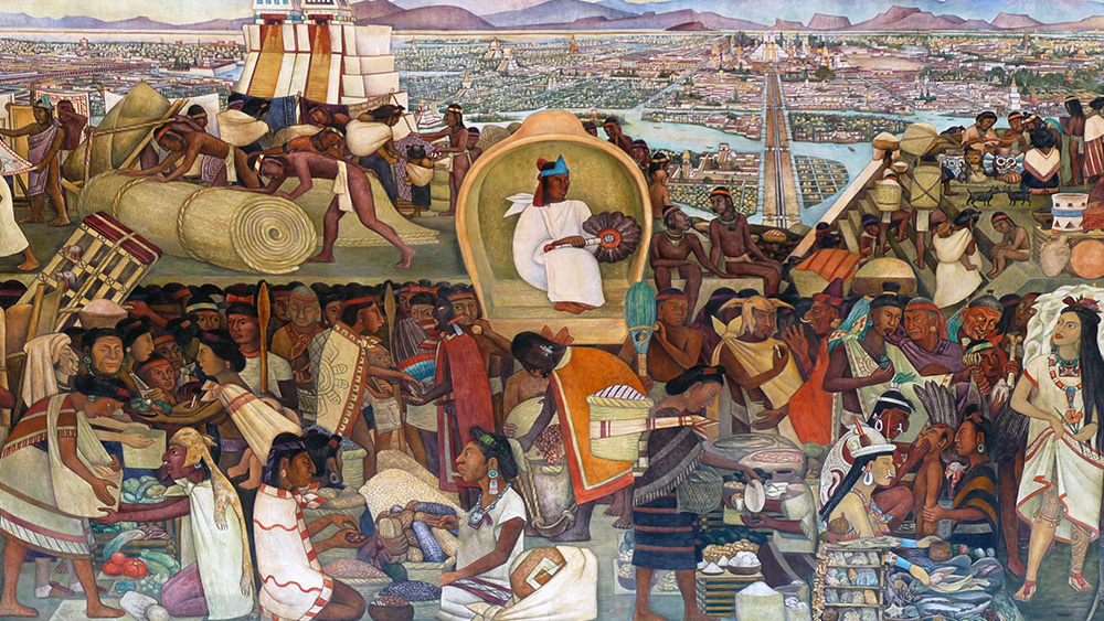
Lesson 6.6
Trade Routes in the Americas
Indigenous Americans forged networks of exchange that stretched across Mesoamerica, the Caribbean, the Andes, the Amazon Basin, and North America.
View Lesson
Lesson 2.3
Exchange in the Indian Ocean
Merchant ships and monsoon winds crossed the Indian Ocean, spreading goods, ideas, and new technologies across Afro-Eurasia.
View Lesson
Explore Further: Long-Distance Trade Routes Activities and Resources
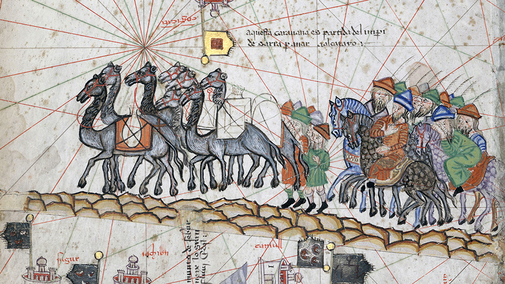
Across an Ocean of Sand: Trans-Saharan Trade Routes
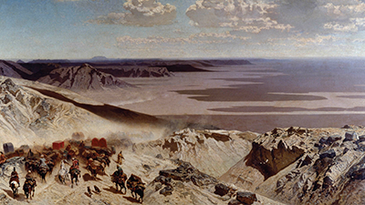
Article
Across an Ocean of Sand: Trans-Saharan Trade Routes
From c. 1200 to 1450 CE, an extensive trading network stretched across the Sahara Desert, linking the wealthy empires of West Africa to the Mediterranean Sea and Indian Ocean.
Silk Road Simulation
Activity
Silk Road Simulation
Where did your shoes come from? No, not the store. Where did they really come from? In this activity, it’s time to find out
Medieval Trade Routes Thematic Map
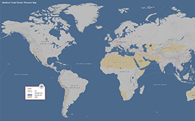
Map
Medieval Trade Routes Thematic Map
This world map shows the main routes of the Silk Roads, and the many smaller systems surrounding it, from China to the Mediterranean.
Source Collection: Networks of Exchange
Article
Source Collection: Networks of Exchange
The primary source excerpts in this collection will help you assess the causes and consequences of the exchange of intellectual and cultural ideas and traditions from c. 1200 to 1450 CE.
Trade Game
Activity
Trade Game
It’s a big world, but trade helped move goods and ideas all around it. This trade game challenges students to overcome obstacles and maximize their economy.
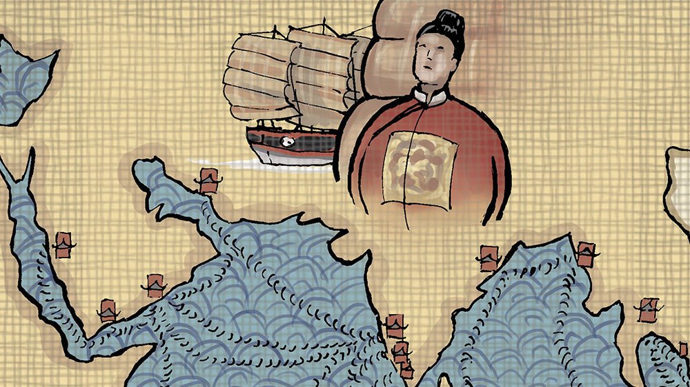
Indian Ocean Trade Routes
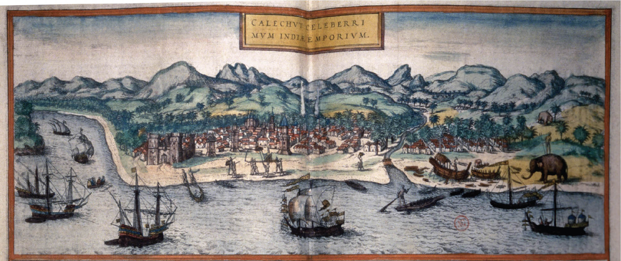
Article
Indian Ocean Trade Routes
From 1200 to 1450, the Indian Ocean was the center of world trade. The world’s largest empires traded in this diverse network of merchants from all over Afro-Eurasia.
Writing Assessments for Teaching Trade Networks
Pre-Writing: Trade Networks

Assessment
Pre-Writing: Trade Networks
Get ready for writing by crafting a claim and gathering supporting evidence to evaluate the pros and cons of Silk Road trade for Afro-Eurasia.
DBQ Sources: Trade Networks
Assessment
DBQ Sources: Trade Networks
Analyze these sources and gather evidence to support your argument about the impacts of long-distance trade.
Writing: Trade Networks
Assessment
Writing: Trade Networks
Time to write! Demonstrate your understanding of the impacts of trade along the Silk Roads by creating a written argument in response to the prompt.
