3.0 Unit 3 Overview
- 1 Video
- 2 Articles
- 7 Activities
- 3 Visual Aids
- 2 Vocab Activities
Unit Problem
How did land-based empires in Afro-Eurasia expand their influence and govern diverse communities between c. 1450 and 1750 CE?
Learning Objectives
- Make geographic predictions about regions you’ll encounter in this unit.
- Understand how land-based empires developed, expanded, and maintained power from c. 1450 to 1750.
- Use the historical reasoning process of continuity and change over time to assess how trade networks and land-based empires transformed from c. 1450 to 1750 CE.
- Analyze charts and interpret historical data.
Unit 3 Overview: Land-Based Empires
Summary
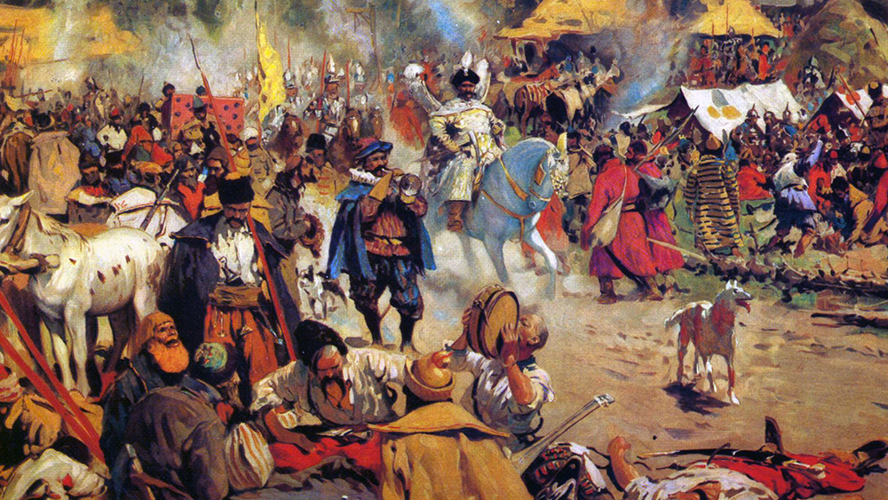
What can a ruler who had 13 titles tell you about how empires maintained control over their subjects? In this video, you’ll learn about the large, land-based empires of Afro-Eurasia from 1450 to 1750. These empires covered thousands of miles of territory and diverse populations with different languages, ethnicities, and belief systems. Maintaining control was a primary concern for rulers who wanted to ensure that their subjects paid their taxes, obeyed the laws, and didn’t launch rebellions. Balancing authority and tolerance was difficult, and land-based empires employed similar tactics to solve these issues, but each empire also faced unique challenges.
Unit 3 Overview: Land-Based Empires (9:59)
Key Ideas
Purpose
This video gives you an overview of the content and themes you’ll explore in Unit 3. The evidence presented in the video will help you compare across empires and evaluate how large land-based empires maintained control over such vast territories and diverse populations. You’ll also evaluate this era by examining a “magnificent” Ottoman sultan using the themes of governance and cultural developments and interactions.
Process
Preview – Skimming for Gist
As a reminder, open and skim the transcript, and read the questions before you watch the video.
Key Ideas – Understanding Content
Think about the following questions as you watch this video.
- What are some of the ways governments get their citizens to abide by their rules?
- Who was Suleiman?
- What states rose to power after the Mongol Empire fractured and what do historians often call these states?
- How did these land-based (gunpowder) empires compete with each other from 1450 to 1750?
- How did these land-based empires maintain control of their territory and subjects?
- What was the millet system and why was it used in the Ottoman Empire?
- What was the devshirme and why was it used in the Ottoman Empire?
Evaluating and Corroborating
- How do Suleiman’s titles represent how rulers established their authority and how do the AP® themes relate to these titles?
- If you were to compare how land-based empires in this era exercised authority and maintained power with governments of today, what would be two of the most significant similarities and two of the most significant differences?
Unit 3 Introduction: Land-Based Empires 1450 to 1750
Preparation
Summary
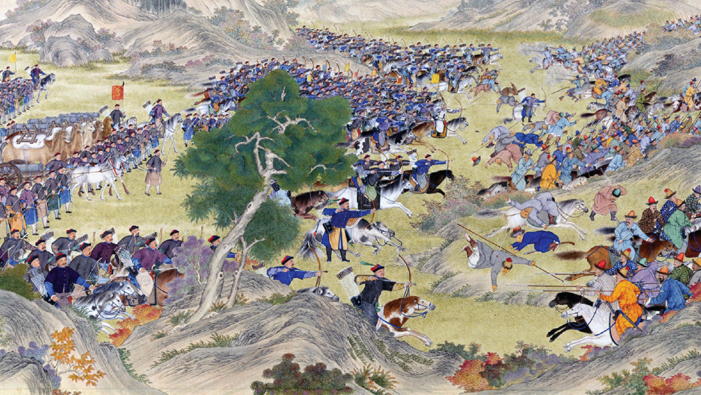
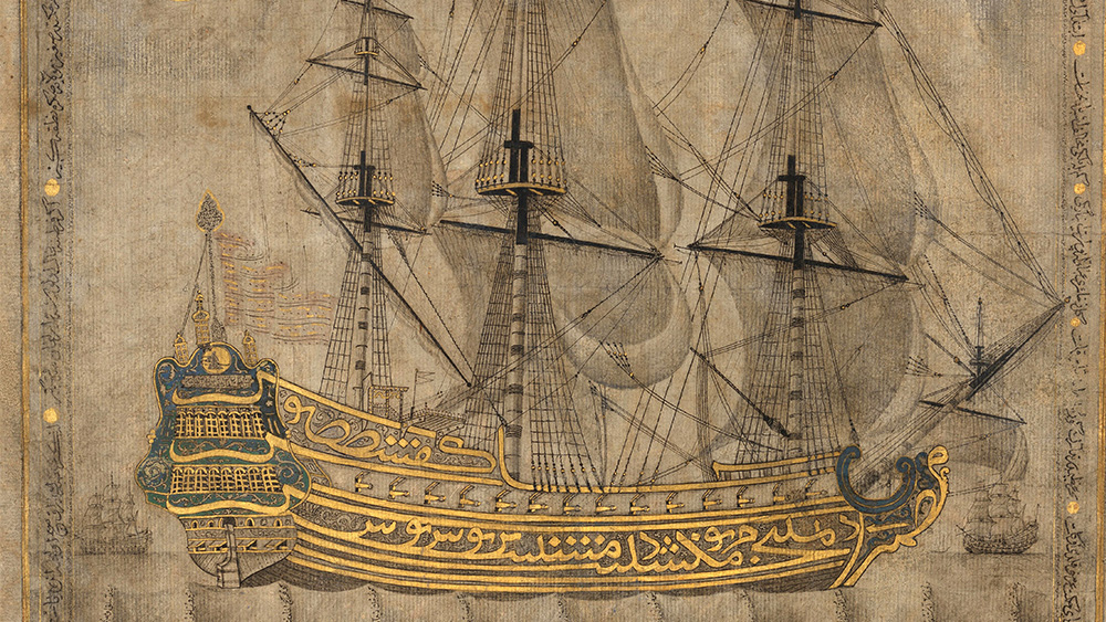
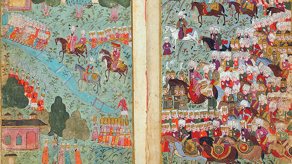
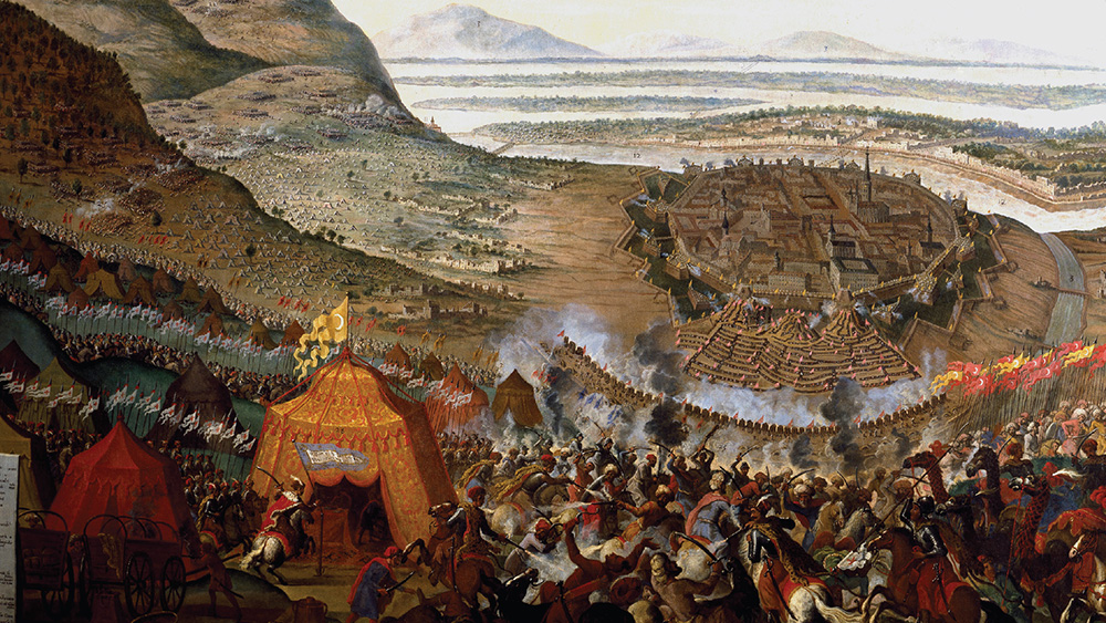
The collapse of the Mongol Empire opened a power vacuum in Afro-Eurasia. This vacuum was filled by five land-based empires: the Ming in China, the Ottomans in Southwest Asia and North Africa, the Safavids in Persia, the Mughals in South Asia, and Russia in the north. These five states are often collectively called “Gunpowder Empires,” but gunpowder weapons weren’t the only advantage these empires had. They each adopted a unique set of administrative strategies that allowed them to control huge populations across vast territories,
Purpose
This article provides an introduction to Unit 3, which covers the emergence and expansion of five large land-based empires between the fifteenth and eighteenth centuries. This article explores why these empires developed and how they expanded. By examining the general methods these states used to control such vast territories, this article prepares you to compare them with each other and against other types of political units that you will encounter in this unit.
Process
Read 1—Skimming for Gist
Fill out the Skimming section of the Three Close Reads worksheet as you complete your first close read. As a reminder, this should be a quick process!
Read 2—Understanding Content
For this reading, you should be looking for unfamiliar vocabulary words, the major claim and key supporting details, and analysis and evidence. By the end of the second close read, you should be able to answer the following questions:
- What were the gunpowder empires? Why were they called that?
- Why was gunpowder a revolutionary technology? How did it change power structures?
- Other than gunpowder, what strategies helped these five empires succeed in expanding across and controlling so much territory?
- How was Europe similar to and different from these land-based empires during this period?
Read 3—Evaluating and Corroborating
At the end of the third close read, respond to the following questions:
- In the previous unit, we explored the vast trade networks that flourished during the period of Mongol dominance in Afro-Eurasia. These networks declined during the period of Mongol collapse. How do you think trade networks were affected by the rise and expansion of these large land-based empires that competed with each other for dominance and territory?
- If you were going to compare empires with each other, what kinds of factors or dimensions do you think you would be looking at?
Geography – Unit 3 Mapping Part 1
Preparation
Purpose
Unit 3 is all about the powerful land-based empires that ruled huge swathes of Afro-Eurasia from 1450 to 1750 CE. These empires, which emerged from the collapse of Mongol control, dominate many maps of this period, with their vast sheets of territory. The purpose of this activity is to introduce you to the major land-based empires you’ll encounter in this unit. You will also begin thinking about similarities and differences between them and predict how they will evolve over the 300-year period covered in this unit. The focus of this activity is on the task of identifying and predicting with maps. As the opening map activity for this unit, this is intended to help orient you in time and space while raising some important questions about the geography you will encounter in this unit.
Process
This activity begins with tracing the former borders of the Mongol Empire and identifying the empires that existed within those borders in 1450. You’ll locate these communities on a blank map and then make some guesses and predictions about how Eurasia’s land-based empires will change from 1450 to 1750.
Step 1
This activity is intended to introduce the geography of the world in 1450 CE. You aren’t expected to have all the answers!
With your teacher, brainstorm some impacts of the collapse of Mongol control on the development of other states after 1450. How did the fall of the Mongols lead to the rise of new empires? Your teacher may add some factors you haven’t thought about.
Step 2
In small groups, access the Black Death and Mongols Thematic Map. You should then trace the borders of the Mongol Empire at its peak in 1279 onto the 1450 Blank Map. Next, you should trace the internal borders of the four Mongol Khanates on the same 1450 Blank Map.
Then, use the 1450 Political Map to identify and label all the political communities on your 1450 Blank Map that held any territory that was once a part of the former Mongol Empire. For example, you should label the Ottoman Empire, even though only part of the Ottoman Empire was once under Mongol rule.
Step 3
Examine the 1450 Political Map and the Black Death and Mongols Thematic Map. Choose two of the states you just labeled and make a guess about how their borders will change between 1450 and 1750. Finally, you should annotate your map, making a prediction about where the largest, most powerful overland empires will emerge by the end of this unit, in 1750. You should provide a 2-3 sentence explanation to support your prediction.
Vocab Tracking 3.0
Preparation
Purpose
This repeated activity should help you become familiar with a process for understanding unfamiliar words any time you encounter them in the course.
Process
Take out your vocab tracker and be sure to record new and unfamiliar words on it according to your teacher’s instructions.
Vocab – Word Wall 3.0
Preparation
Purpose
Understanding vocabulary is integral to you being able to access course content, and it helps reading comprehension, too. This word wall activity should help you begin to learn some of the key vocabulary from Unit 3.
Process
In this activity, you’ll work with your class to create a word wall using the Unit 3 vocabulary.
Your teacher will assign a vocab card to each of you. Once you get yours, take a few minutes to look it up in the Unit 3 Vocab Guide and then examine the unit itself (click around and quickly skim the content) to see where in the unit your word might be most applicable. Then, add as many synonyms to your card for your word as possible. Your teacher will give you a limited amount of time to write synonyms. Then, the people with the most correct synonyms at the end of that time will put their words on the word wall first.
Your teacher may add some fun twists to this assignment, so be sure to listen closely for directions!
Themes Notebook
Preparation
Purpose
The World History Project AP (WHP AP) curriculum asks you to visit and revisit the AP themes throughout the course. The aim of the Themes Notebook is to keep you connected to the core themes of each unit. In Part 1 of the Themes Notebook, which you’ll complete early in each unit, you will evaluate each of the statements on the worksheet based on what you currently know. In Part 2, which comes later in each unit, the statements appear as questions. You will respond to these questions as you revise and refine your initial understanding of the unit’s themes. In both parts of this activity, you should focus on concepts rather than formal writing. The primary purpose of the Themes Notebook is to help you assess how your thinking is progressing, where you’re gaining mastery, and where you might need additional instruction.
Although it might seem that you haven’t learned enough yet to respond to the prompts, that’s OK! This activity is meant to help you think about what you might already know about the ideas and concepts of the unit. You’ll revisit the prompts at the end of the unit (although this time they’ll appear as questions), and you’ll get to see how much you’ve learned! This activity will also give you a preview of what’s to come, as you’re learning which themes you should pay attention to as you learn new content.
Note: Since you’ll be revisiting this worksheet at the end of the unit, be sure you hold onto it! If your teacher offers to collect your class’s worksheets, that’s probably your best bet.
Process
Use the Themes Notebook worksheet to respond to the Part 1 prompts as best as you can. Be prepared to talk about these ideas with your class.
Project X – Make a Prediction Part 1
Preparation
Purpose
This activity is the first of two designed to guide you through the steps of making predictions with data. The following process will help you learn to identify the shapes of graphs and give you some practice with predictions. Evaluating these sample predictions will provide you with models for coming up with your own in the next Making a Prediction activity. The ability to evaluate data is an important skill—for history class and in life—because it enables us to use and apply the information we encounter in our world every day.
Process
In this three-step activity, you will begin by examining a simple line graph and completing a matching activity. Next, you will evaluate several example predictions about the future of poverty and identify the different components of a prediction.
Step 1
There are two main practices that can help you make predictions using charts. First, you can examine the scale and shape of the chart itself to make predictions about how the shape will change if you extend the scale. Second, you need historical information about the chart’s topic. This information— gained from research besides the chart—will help you predict how the trends on the chart might change or stay the same.
Begin by looking over the Making a Prediction Part 1 worksheet. Look at the “How Funny YouTube Videos Are” chart. Based on the chart, as well as your own experience, predict what the line would look like if the timeline were extended to 8:00 a.m. Draw the extended graph. Be prepared to explain why your prediction is correct.
Step 2
Your teacher will place you into small groups to work on Step 2 of the Making a Prediction Part 1 worksheet. With your group, match the graph shapes with the given descriptions. (Note: Some descriptions match more than one chart.) Be prepared to share your responses with the class.
Step 3
Remain in your group to complete Step 3 of the Making a Prediction Part 1 worksheet, which shows a line graph as well as several predictions based on it.
With your group, evaluate the given predictions about the future of poverty. Identify and cross out any predictions you think are very unlikely to occur. Discuss and vote on which of the remaining predictions you think is most likely to take place. Next, work with your group to complete the three discussion questions and your explanations.
Data Exploration: Urbanization
Preparation
Open the following charts in your internet browser:
- Chart 1 – Urban Area Over the Long Term: https://ourworldindata.org/grapher/urban-area-long-term
- Chart 2 – Urbanization over the Past 500 years: https://ourworldindata.org/grapher/urbanization-last-500-years
- Chart 3 – Land Use over the Long Term: https://ourworldindata.org/grapher/land-use-over-the-long-term
- Chart 4 – Urban Population vs. GDP: https://ourworldindata.org/grapher/urbanization-vs-gdp?time=
Summary
Today, more than half of the humans on this planet live in cities. Yet for almost all human history, the vast majority of people lived outside of cities. As more and more humans moved into cities, urbanization gradually changed the ways we lived. After 1800, these changes intensified as urbanization accelerated. Even with over half of all humans living in cities, the “built environment” of urban landscapes is only a small percentage of Earth’s surface. But urbanization’s reach extends beyond cities, affecting how we produce food and the relative wealth of nations.
Purpose
The first data exploration introduced one chart. This second exploration has four. Wow, that escalated quickly … kinda like urbanization! One chart rarely tells the whole story. That’s why it’s important for you to learn how to make connections between different types of data and different charts. Together, the charts in this article will introduce you to changes in urbanization at the global, regional, and national levels. They will also provide you with evidence to evaluate and make claims about urbanization’s impacts on human networks and systems of production and distribution.
Process
Your teacher will let you know if there is an overall question to hold in your mind as complete your three reads of the article.
Preview – What Do We Have?
Fill out the Read 1: Preview section of the Three Close Reads for Data worksheet as you complete your first close read. Remember—this should be a quick process!
Key Ideas – What Do We Know?
For this read, your goal is to understand the “story” the chart is telling by identifying its arguments and evaluating its presentation of data. You will decide what claim or claims this chart is making and what evidence is being used to support those claims. Do you think the data is reliable? Is the chart misleading in any way? By the end of this read, you should be able to answer the following questions:
- How has urbanization changed in the last 12,000 years?
- How are Charts 1 and 2 different?
- What does Chart 3 tell us about the impacts of urbanization on human use of the land?
- What does Chart 4 suggest about the relationship between urbanization and wealth?
- Thinking back to the “ice cream and violent crime” chart from “A Guide to Reading Charts,” can you think of any problems with Chart 4? Can you think of any other variables (like weather in the ice cream chart) that might explain both high levels of urbanization and wealth?
Making Connections – What Does This Tell Us?
The third read is really about why the chart is important, what it can tell us about the past, and how it can help us think about the future. At the end of this read, respond to the following questions:
- What are the connections between these four charts? Together, what do they tell us about urbanization in the long term of human history? What do they tell us about the more recent past?
- Using these four charts, make one prediction about how urbanization will change in your lifetime. What evidence from the charts supports your prediction? What evidence challenges it?