
300 BCE Political Map

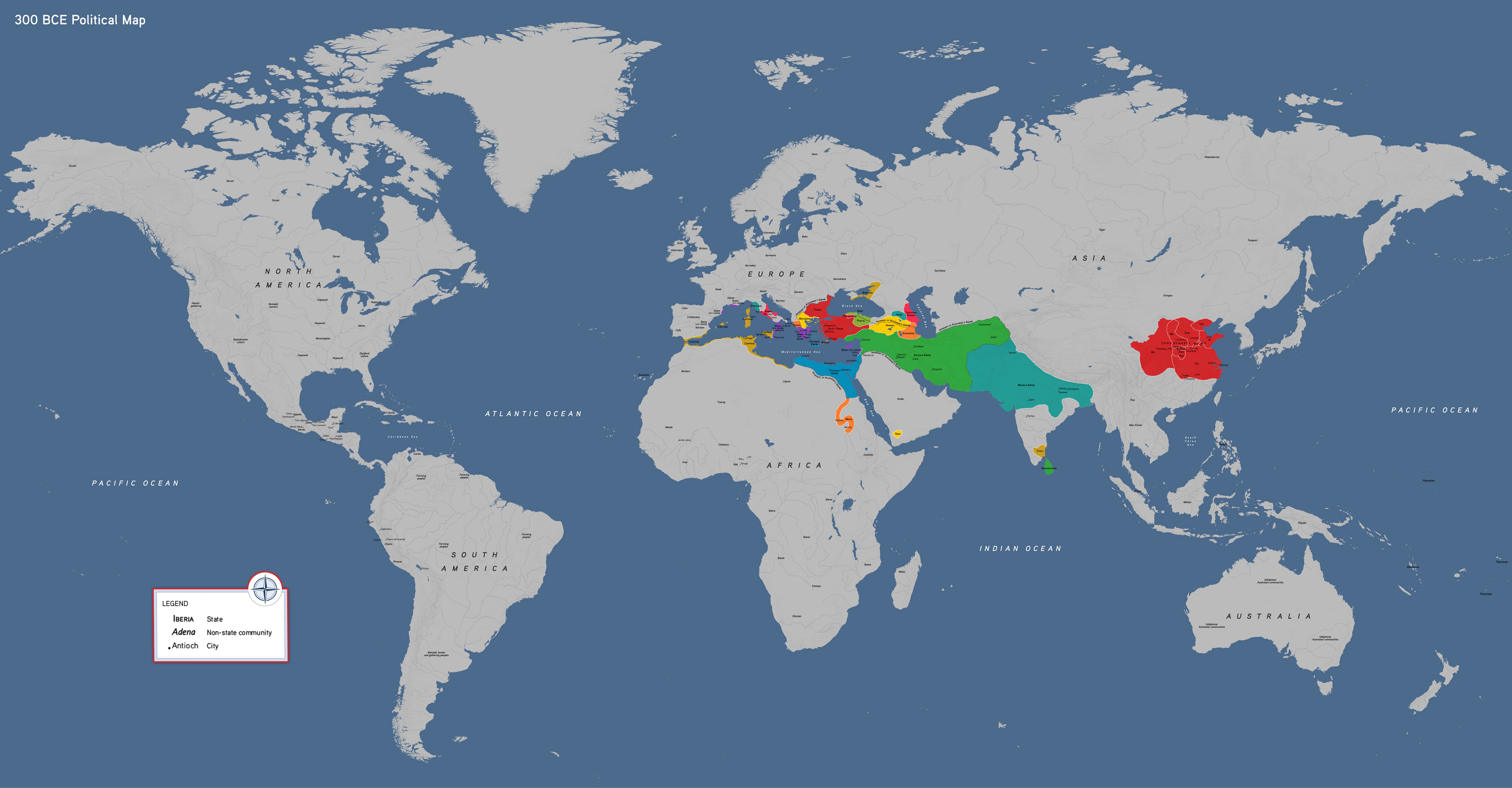

This political world map of the ancient world showcases 300 BCE, a period following the conquest and collapse of the empire of Alexander the Great, which had connected societies from the Mediterranean to Central Asia.
This map features:
- The successors to Alexander’s rule (Ptolemaic Dynasty, Seleucid Empire, Thrace, and Macedonia)
- The Roman Republic and Carthage
- The Zhou Dynasty in China
- The Mauryan Empire in South Asia
How to Use This Map
Students can use this map to locate key ancient and classical societies and to understand the spread of technologies and the impact of geography on social organization and culture.
300 BCE political map, by OER Project, CC BY 4.0.